maritime boundaries between Italy and France
Accord entre le Gouvernement de la République française et le Gouvernement de la République italienne relatif à la délimitation des mers territoriales et des zones sous juridiction nationale entre la France et l’Italie
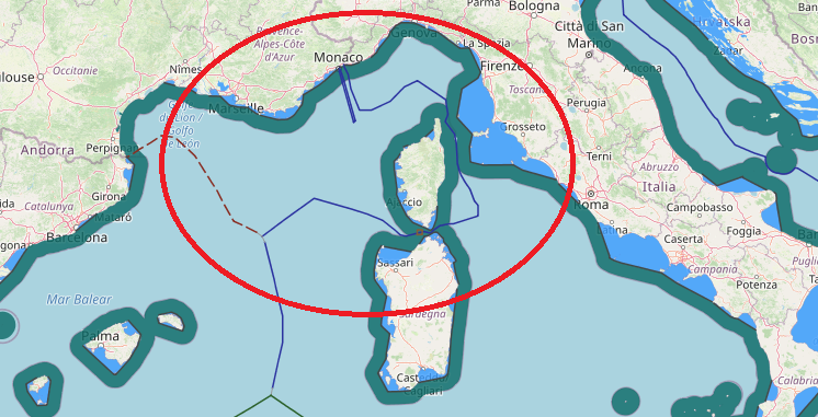
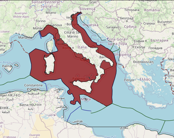
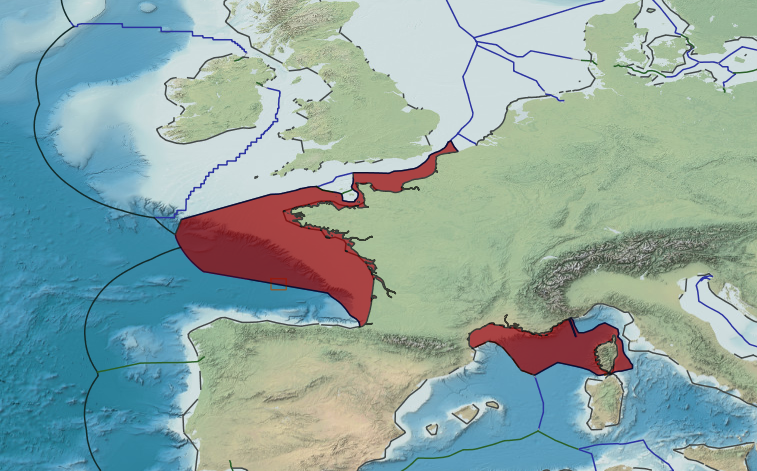
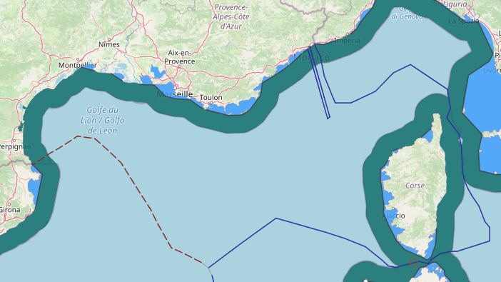
In 1986, Italy and France reached an agreement on a short segment of maritime boundary that delimited their overlapping territorial sea entitlements between the islands of Sardinia (Italy) and Corsica (France). In 2015, following nearly a decade of negotiations, the Parties agreed on a more comprehensive agreement that delimited all of their overlapping entitlements in the Mediterranean Sea. The resulting boundary starts at the terminal point of their land boundary and arcs in a clockwise fashion around the French island of Corsica for 466 nautical miles, where it then terminates at a tripoint generated by Spain’s Menorca Island.
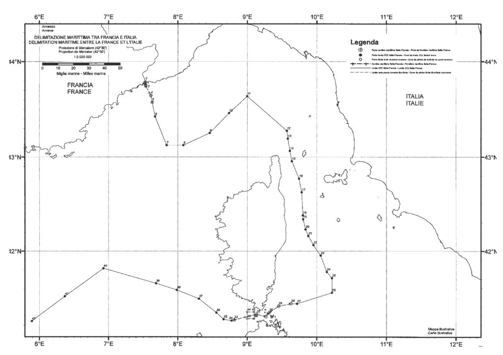
The France–Italy Maritime Boundary Agreement is a 1986 treaty between France and Italy which delimits the maritime boundary between the two countries in the Strait of Bonifacio.
The Strait of Bonifacio separates the French island of Corsica from the Italian island of Sardinia. The treaty was signed in Paris on 28 November 1986. The boundary set out by the text of the treaty is a relatively short 40 nautical miles long and consists of five straight-line maritime segments defined by six individual coordinate points. The agreed-to boundary is an approximate equidistant line between the two islands.
The treaty came into force on 15 May 1989 after both countries had ratified it. The full name of the treaty is Agreement between the Government of the French Republic and the Government of the Italian Republic on the Delimitation of the Maritime Boundaries in the Area of the Strait of Bonifacio.


Post Comment
You must be logged in to post a comment.